
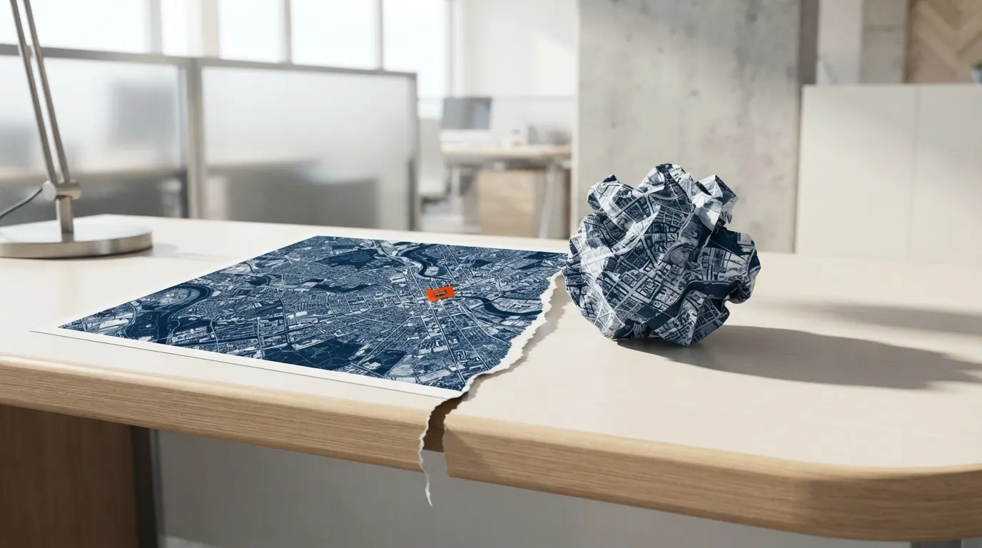
Google shipped a feature that let anyone generate fake imagery inside Google Earth, pitched as being creative with geography. The criticism was immediate: it would turn one of the most trusted sources of visual evidence into a misinformation machine. A day later, the company deleted it.
The feature used generative AI to alter satellite imagery, adding clouds, changing seasons, removing buildings. The catch is that journalists, researchers and campaigners treat Google Earth as a geographic source of truth. Once a doctored image becomes a screenshot and travels as proof, verification is nearly impossible, because the platform itself contaminated the source.
Anyone working with spatial data, environmental monitoring groups for instance, loses confidence in the visual timeline. There was no change record following each generated image, no visible watermark, no strong authentication. A black box carrying Google's seal.
What stands out isn't that Google got the launch wrong. It's the sequence: ship it, watch the reaction, switch it off. That only works when the problem shows up the same day. What if it had surfaced three months later? How much fake satellite imagery would have circulated before anyone noticed?
Google had the nerve to reverse course, which is the luxury of an organisation that can be wrong in public. In a smaller operation, a feature that lets a user believe something untrue simply doesn't ship. There is no we'll deal with it later when what's at stake is trust.